

Modular multi-mission ground segment software suite for TT&C, mission control and EO data processing.
gs4EO Ground Segment Suite
Modular multi-mission ground segment software suite for TT&C, mission control and EO data processing.
Description
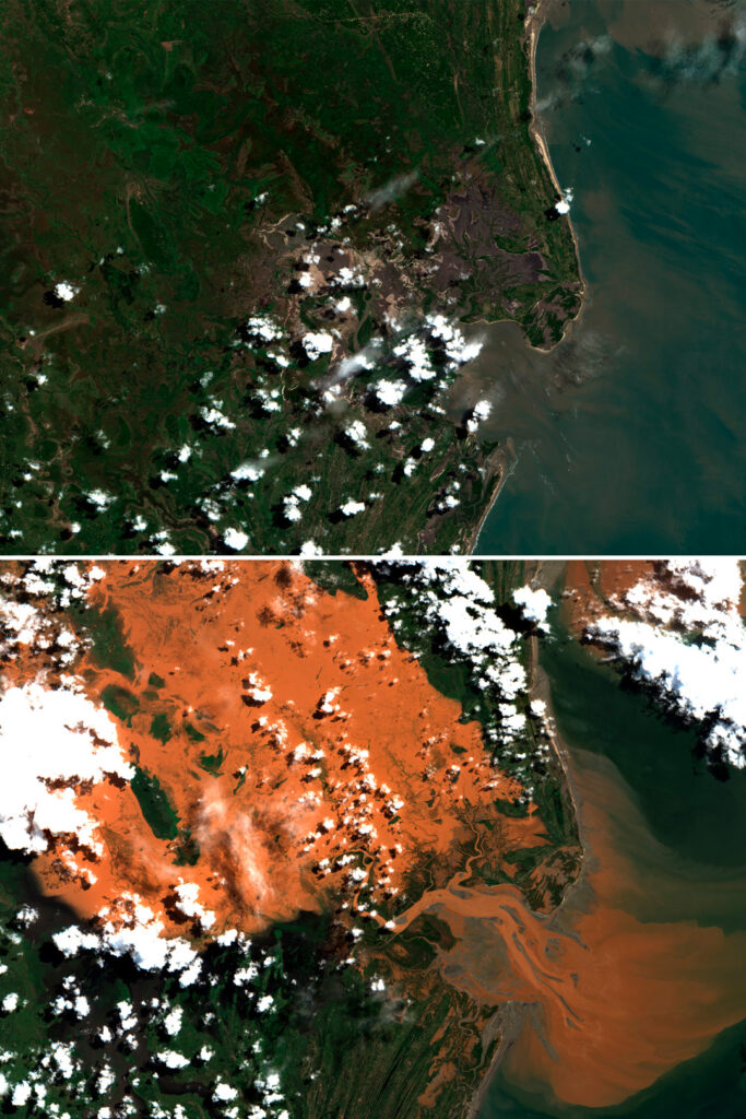
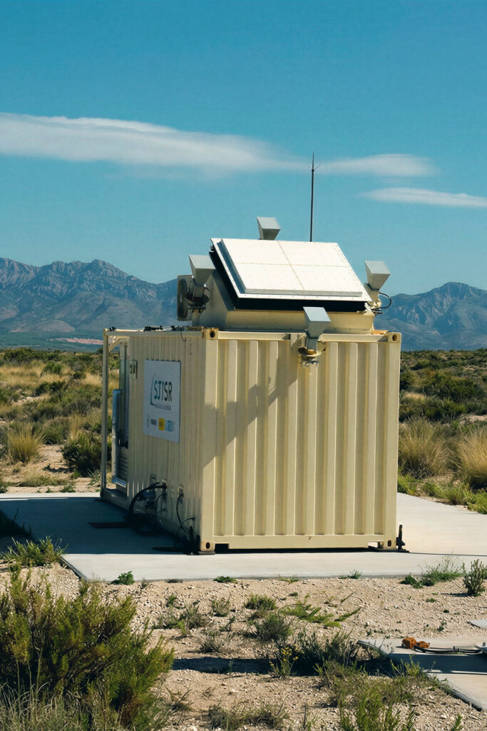
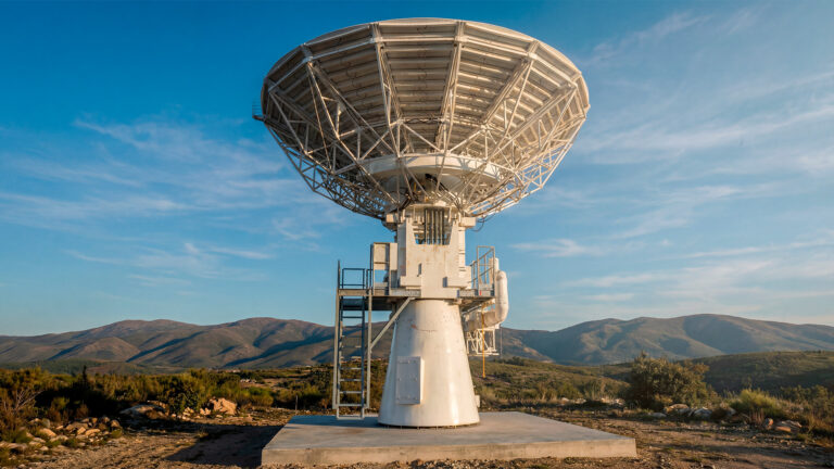
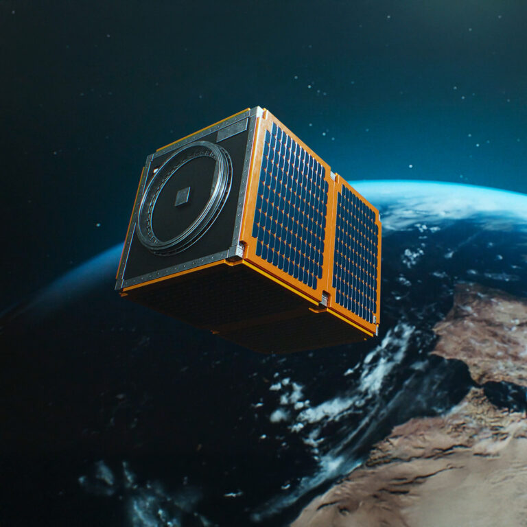
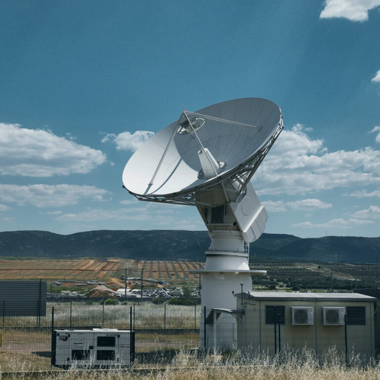
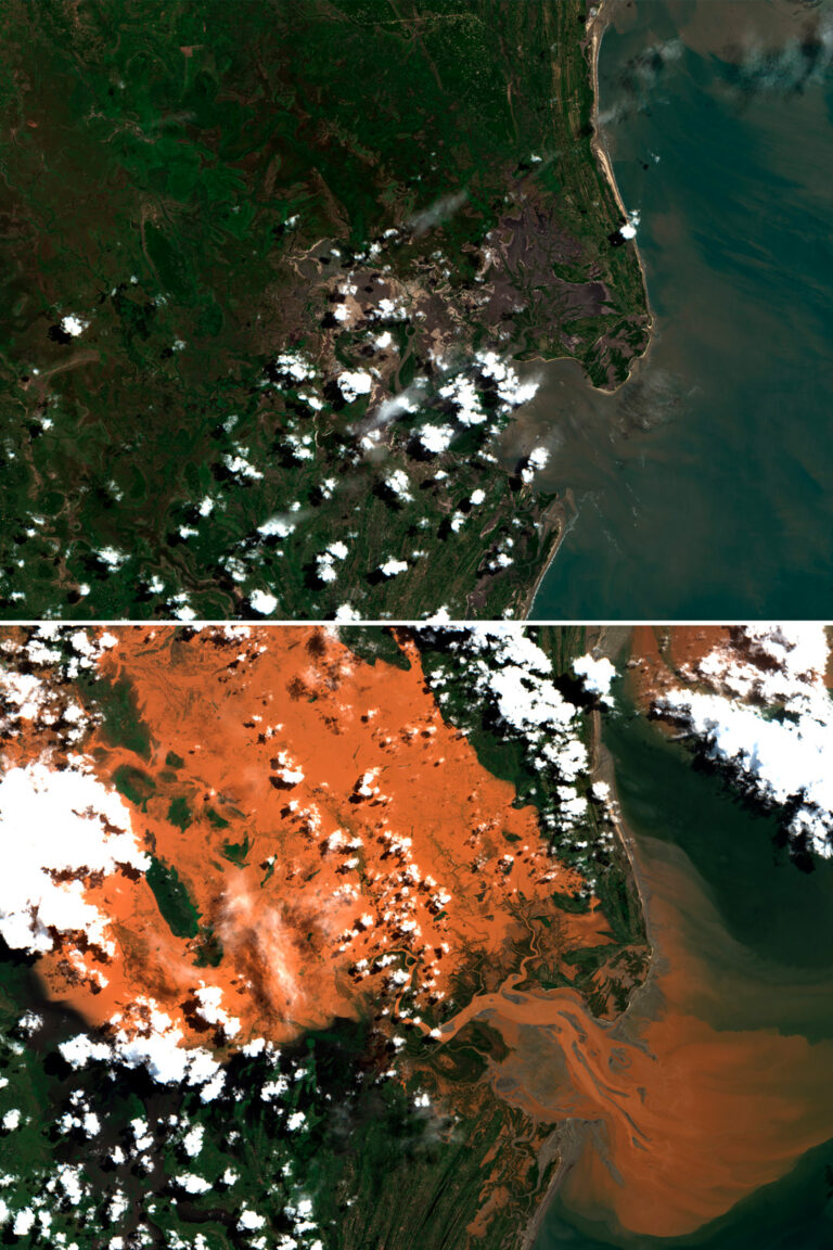
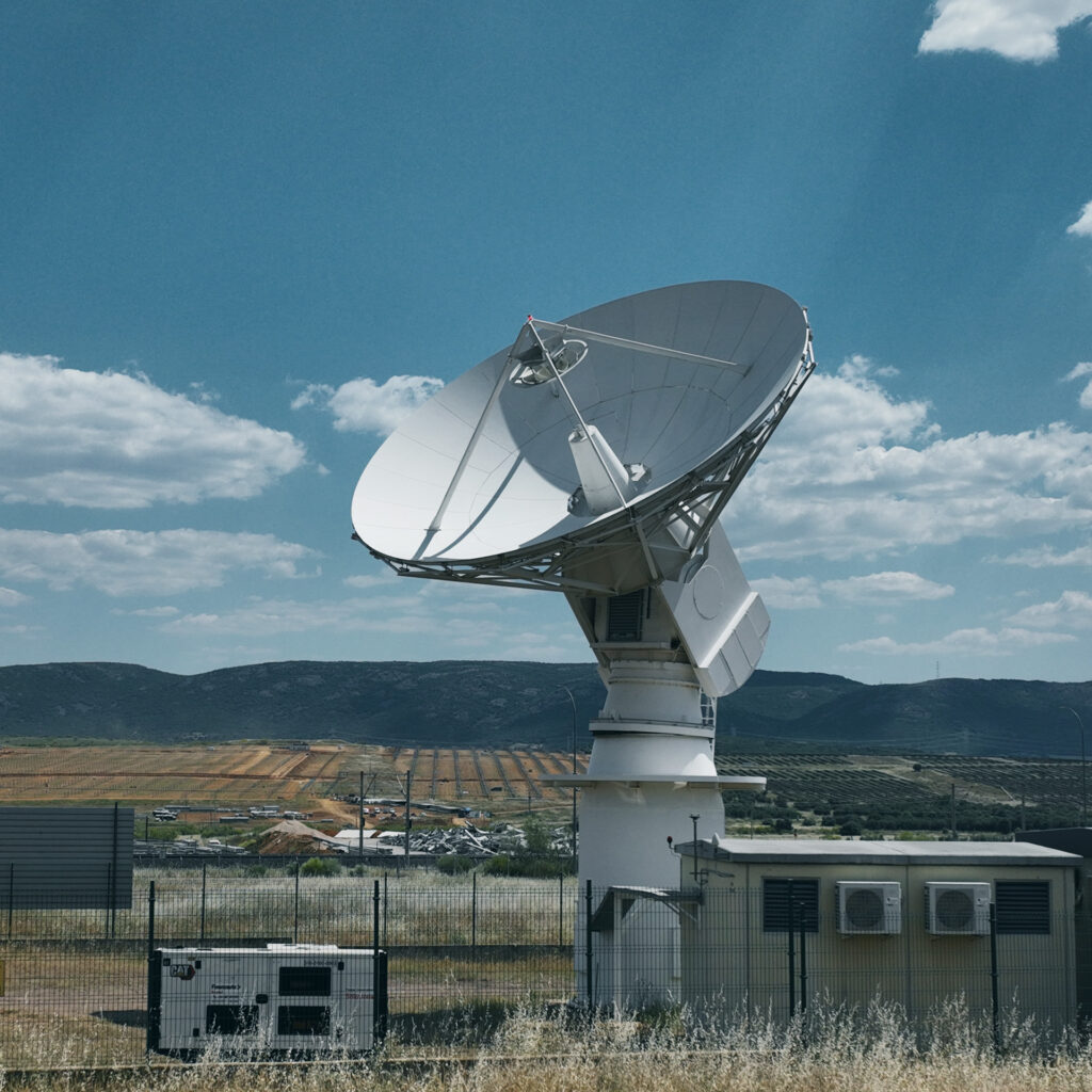
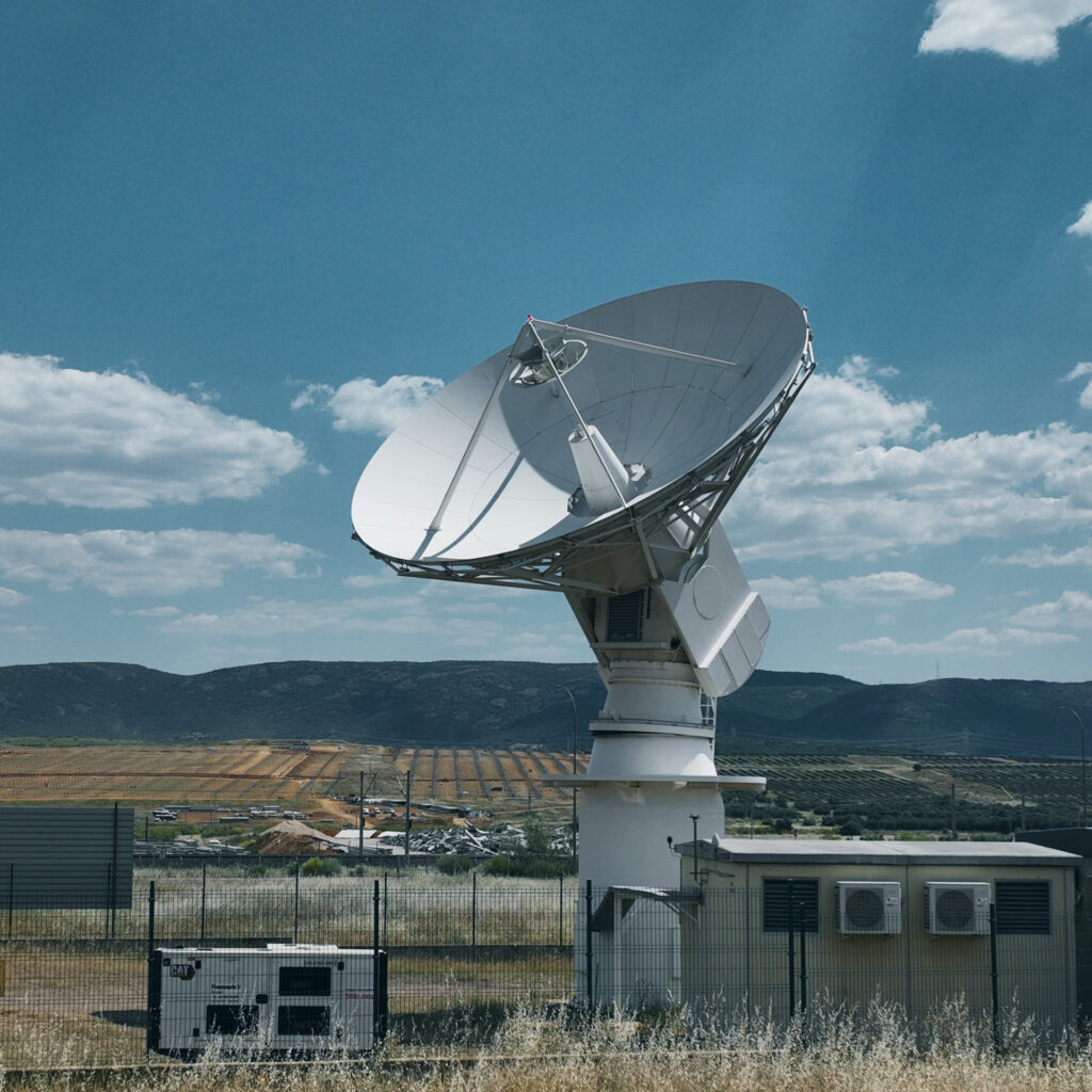
gs4EO is Indra Space's (formerly Deimos Space) modular ground segment software suite, used operationally to design, develop and operate ground infrastructure for more than 30 Earth observation missions worldwide, including ESA's Earth Explorers and Copernicus programmes. The suite is composed of multi-mission, interoperable and independent modules covering Telemetry, Tracking & Command (TT&C) via X-band downlink for image transmission and S-band for telemetry/telecommand, Operational Data Processors (ODP), end-to-end mission simulators, Payload Data Ground Segments (PDGS) and Flight Operations Segments (FOS), plus Earth-observation data applications and services. The architecture is open and flexible, supporting autonomous and secure operations with minimal staffing, remote access, virtualised deployment, continuous 24/7 operation with redundancy and fault tolerance, and reuse of assets across missions via compatibility with international ground-segment standards. gs4EO can be deployed as a complete ground segment, a direct-reception station, or individual subsystems, and is operated by Indra Space at its own facilities including the Puertollano Antenna Park (Ciudad Real, Spain), which hosts a 10.2 m S/X-band antenna -- the largest of its kind commercially available on the Iberian Peninsula.
Specifications
| Missions supported | 30+ Earth observation missions (incl. ESA Earth Explorers, Copernicus) |
|---|---|
| Downlink band | X-band (image data) |
| TT&C band | S-band (telemetry/telecommand) |
| Flagship antenna | 10.2 m S/X-band antenna, Puertollano Antenna Park, Ciudad Real, Spain |
| Modules | ODP, end-to-end simulators, PDGS, FOS, EO data applications |
| Operation | 24/7 with redundancy and fault tolerance; remote/virtualised deployment |