OnEO Geospatial Intelligence Platform
 Deimos Space (Indra)
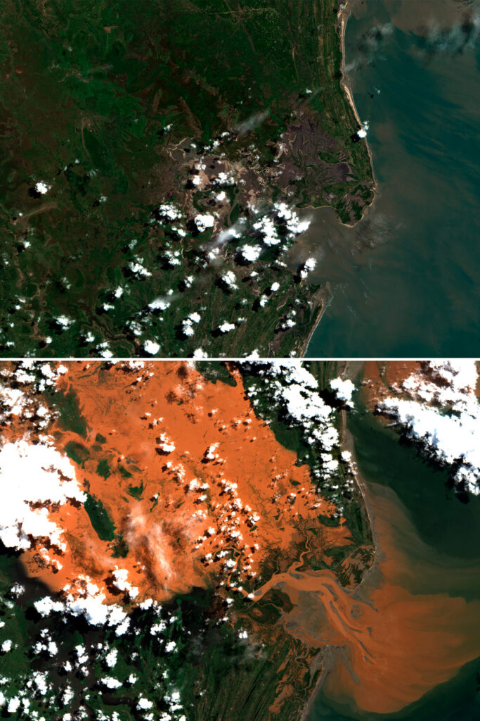
Next-generation Earth-observation software platform fusing multi-source geospatial data into operational intelligence.
Technical specifications
- Platform type
- Software-as-a-service geospatial intelligence platform
- Core features
- Multi-source data fusion, Digital Twin of the Earth, imagery marketplace, on-demand analytics
- Interoperability
- Compatible with NATO, Copernicus, SPIDER infrastructures
- Applications
- Agriculture, energy/environment, logistics, insurance, emergency management, defence intelligence
About
OnEO is Indra Space’s (formerly Deimos Space) next-generation Earth-observation software platform, transforming multi-source geospatial data into operational intelligence for both civil and defence users. The platform uses advanced analytics and artificial intelligence to detect patterns, anticipate trends and enhance situational awareness, generating real-time alerts and mission reports. Key capabilities include multi-source geospatial data integration and exploitation, a Digital Twin of the Earth for simulation and prediction, a marketplace of processed products and ready-to-use satellite imagery, and on-demand analytical services. OnEO is modular, scalable and interoperable, designed to integrate with existing customer infrastructure and to reduce operational costs through automation and AI, while remaining compatible with NATO, Copernicus, SPIDER and other government and private infrastructures. Applications span precision agriculture, energy and environmental monitoring, logistics and transport, insurance and risk management, emergency management, and strategic/defence intelligence, reflecting the platform’s dual-use design.
Documentation
No public datasheet yet — request the datasheet / ICD from the supplier.