PIE-Ortho
 PIESAT Information Technology
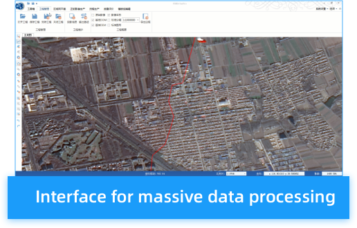
PIE-Ortho is satellite image processing software for surveying and mapping that supports rapid mass production of DOM, DEM, and DSM.
Technical specifications
- Characteristics
- Automatic computation of whole process
- Interface
- Human-computer interactive platform for massive data
- Output
- Real-time visualized processing results
- Processing
- Automatic generation and joint adjustment of large-area multi-source data
- Workflow
- Customizable workflow
About
PIE-Ortho is a satellite image processing software designed for surveying and mapping applications, supporting the rapid mass production of Digital Orthophoto Maps (DOM), Digital Elevation Models (DEM), and Digital Surface Models (DSM) from remote sensing images. It has been widely applied in fields such as the land industry, surveying and mapping industry, agriculture, forestry, water conservancy, and environmental protection. The software is capable of performing clustered distributed computation to accomplish distributed automatic processing of massive data, which improves production efficiency and shortens project cycles.
Documentation
No public datasheet yet — request the datasheet / ICD from the supplier.