PIE-SAR
 PIESAT Information Technology
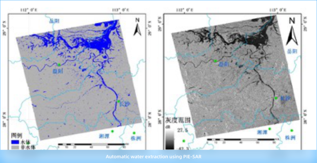
PIE-SAR is a software solution for processing and analyzing radar image data from mainstream spaceborne Synthetic Aperture Radar (SAR) sensors.
Technical specifications
- Characteristics
- Automatic and high-accuracy SAR block adjustment
- Insar processing
- Whole-process InSAR processing
- Decomposition
- 50% hierarchical decomposition
- Segmentation
- Superpixel segmentation
- Application modules
- Water body extraction, coastline extraction, ship detection, land cover change detection
About
PIE-SAR is a comprehensive software package specifically designed for the processing and analysis of radar image data, primarily from spaceborne Synthetic Aperture Radar (SAR) sensors. It offers a wide range of functionalities, including basic processing tasks, block adjustment for precise data alignment, InSAR (Interferometric SAR) for topographic mapping, and DInSAR (Differential InSAR) for monitoring deformation over time. The software also supports advanced applications such as SAR segmentation classification. Furthermore, PIE-SAR has derived multiple specialized application modules, enabling users to perform tasks like water body extraction, coastline extraction, ship detection, and land cover change detection. This versatility makes PIE-SAR a valuable tool across various industries and fields, including maritime operations, disaster reduction efforts, and water conservancy projects.
Documentation
No public datasheet yet — request the datasheet / ICD from the supplier.