Crisis Management Web-GIS Platform
 Spacebel
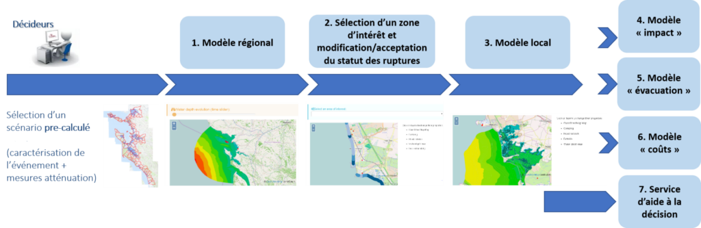
Modular web-GIS decision-support platform for crisis planning, simulation and response, based on the CRISMA project.
About
Spacebel co-developed a modular web-GIS crisis management platform, originally created within the CRISMA project, that supports crisis managers with planning, simulation and decision-making tools during emergencies. The platform provides actionable geospatial information for effective response and has been used as a web-GIS tool for training and scenario-based simulation for emergency responders.
The platform supports crisis managers and stakeholders in building resilience and protecting lives, infrastructure and the environment, as part of Spacebel’s broader hazard and risk management offering that also covers air pollution and odour monitoring, ground displacement detection and wildfire risk services.
Documentation
No public datasheet yet — request the datasheet / ICD from the supplier.