SENWISE Crop & Vegetation Monitoring
 Spacebel
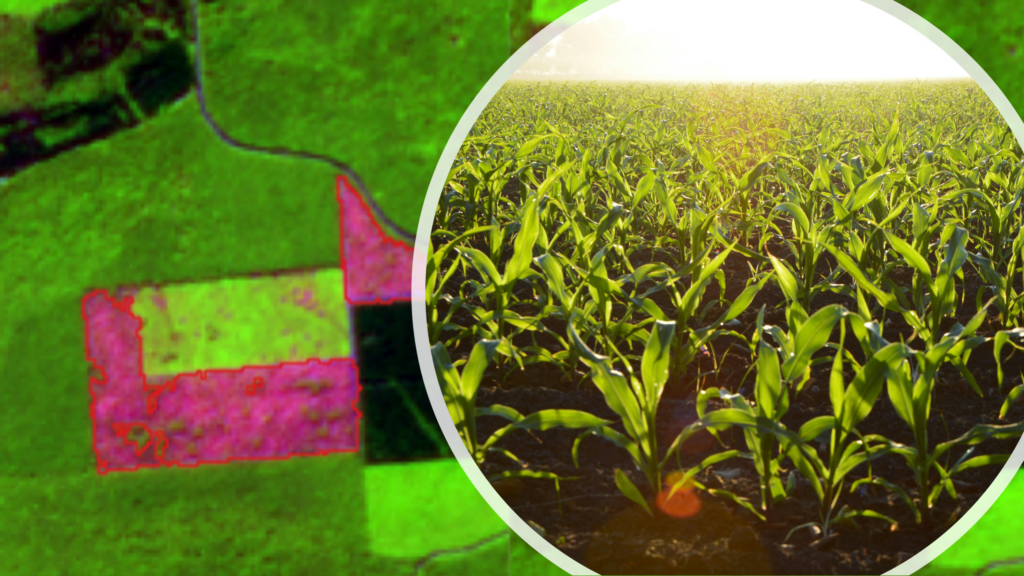
Multi-sensor satellite monitoring service for crop health, water status and vegetation/fire-risk indicators.
About
SENWISE is an Earth observation monitoring service developed by Spacebel’s EORegions! team that enhances the monitoring of crop health and water status using high-resolution, multi-sensor satellite information. The service delivers indicators that help assess crop vigour, drought impact and irrigation needs, supporting more sustainable farming practices and improved decision-making for farmers and agricultural authorities.
Beyond agriculture, SENWISE also adds value to hazard management: by combining Earth observation data with environmental and vegetation indicators, it produces high-resolution wildfire hazard and risk maps, supporting preparedness, prevention and response actions for civil protection agencies and land managers.
Documentation
No public datasheet yet — request the datasheet / ICD from the supplier.