Mining & Raw Materials Environmental Monitoring
 Spacebel
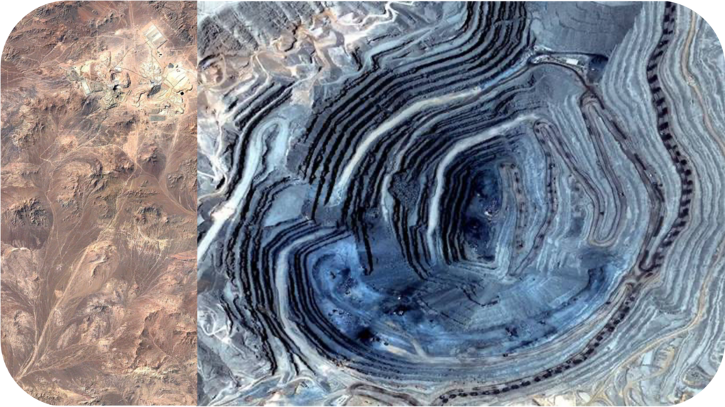
3D DEM and satellite-imagery based environmental and landslide risk monitoring service for mining sites.
About
Spacebel’s Mining and Raw Materials Earth observation service supports data-driven environmental management and landslide risk monitoring for mining operations, using 3D Digital Elevation Model (DEM) solutions combined with high-resolution satellite imagery. The service has been deployed at Minera Escondida in Chile’s Atacama Desert, the world’s largest copper mine, where Spacebel’s 3D DEM solutions and Quickbird imagery improved environmental management and landslide risk monitoring cost-effectively for the site owners and the Chilean government.
The broader offering also contributes to platforms such as the MINEYE Interfacing, Programming and Optimisation Platform (IPOP), a web-interface platform supporting decision-making at various stages of mining, including mineral exploration, extraction, mine closure and post-closure stages.
Documentation
No public datasheet yet — request the datasheet / ICD from the supplier.