Global Environmental Monitoring System (GEMS2)
 WeatherStream (formerly Orbital Micro Systems)
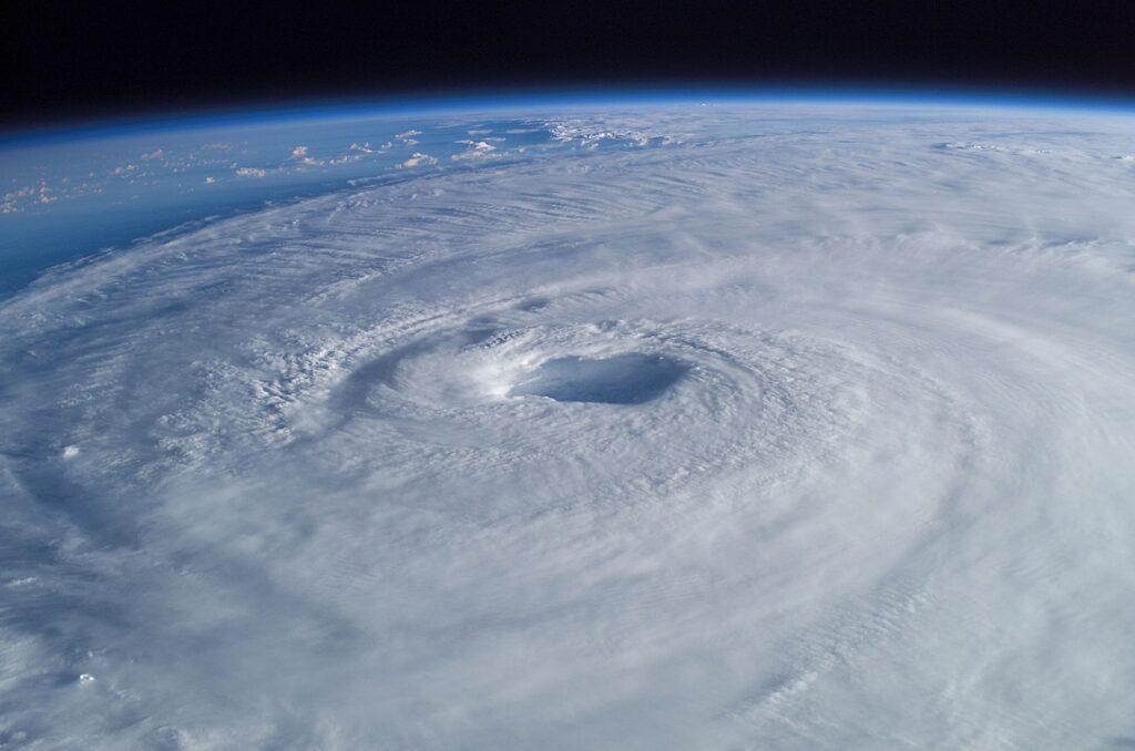
GEMS2 CubeSats will improve the global availability of critical weather data utilizing multi-band microwave radiometers that improve the temporal and spatial resolution of microwave sounding and imagery data.
About
Weather Stream’s next-generation Global Environmental Monitoring System (GEMS2) satellites feature a state-of-the-art microwave radiometer that provides temperature, humidity, and precipitation observations at multiple altitudes from the surface to the mid-stratosphere. The unique data captured from GEMS2 will specifically benefit insurance, agriculture, and aviation markets through more frequent and precise observations into weather structures and systems. GEMS2 builds on the success and lessons learned from the the GEMS1 satellite, which provided the highest spatial resolution tropospheric temperature sounding data ever gathered by a satellite mission. The GEMS2 satellite radiometers are designed to gather Earth observation data across 24 sounding and imaging channels, providing vertically distributed precipitation and temperature datapoints in a 2000-kilometer-wide swath as each satellite orbits the Earth. The addition of a single GEMS2 radiometer to operational status will increase the global availability of microwave observation data by some 10 percent. GEMS2’s passive microwave radiometers operate at frequencies which penetrate clouds and offer internal views of storm systems that are similar to 3-D weather radar over land or sea. Data collected by GEMS2 in 118 GHz and 183 GHz bands with 16-kilometer spatial resolution and cross-track scanning enables enhanced data reliability and precision. Global temperature, precipitation, and humidity profiles from the surface to 45 kilometers in altitude will be made available within 15 minutes of downlink, enabling near real-time analysis.
Documentation
No public datasheet yet — request the datasheet / ICD from the supplier.