Wildfire Snapshot
 OroraTech GmbH
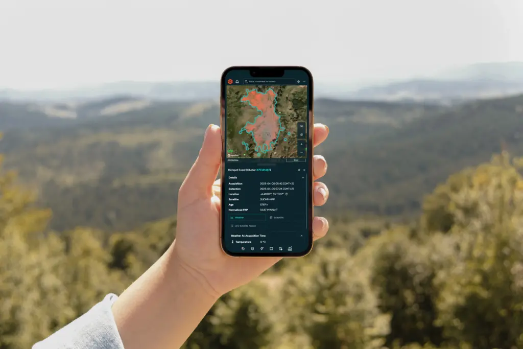
Wildfire Snapshot provides a public preview of a single wildfire cluster, allowing users to explore key details of a real event without needing an account.
About
OroraTech’s Wildfire Snapshot is a feature of their Wildfire Solution, designed to help organizations monitor wildfire activity from space. This public preview allows users to view a static snapshot of a single wildfire cluster through a simple link, eliminating the need for an account. It offers a clear and straightforward window into how the OroraTech platform presents real wildfire clusters, providing essential details such as hotspots, affected area size in hectares, exact coordinates of the event, and weather data including temperature, wind speed, humidity, and cloudiness. Users can also view a timeline of the first and last hotspot detections before the snapshot was created and switch between topographic and satellite hybrid map styles. While Wildfire Snapshot offers a glimpse into the platform’s capabilities, it is only a small preview of the complete Wildfire Solution, which provides tools for exploring multiple clusters, analyzing fire behavior, and comprehensive detection and monitoring.
Documentation
No public datasheet yet — request the datasheet / ICD from the supplier.