Space Hardware Marketplace

16 satellite platforms, components and ground equipment from manufacturers worldwide.

16 products Reset
Software & Services

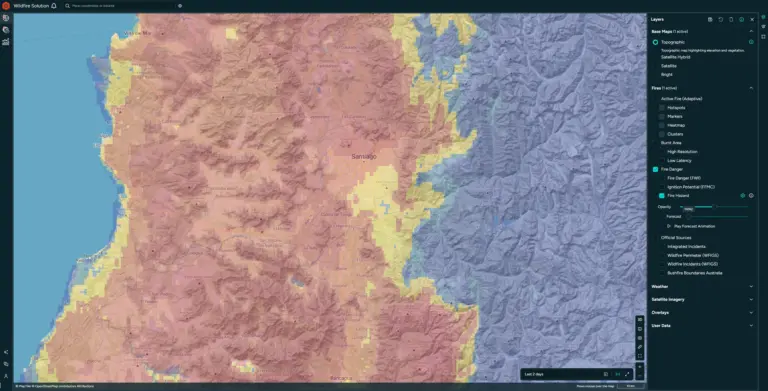
Wildfire intelligence

OroraTech GmbH
Price on request

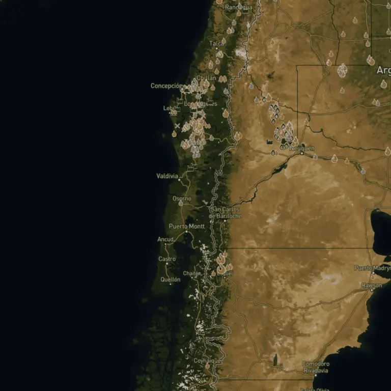
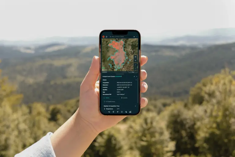
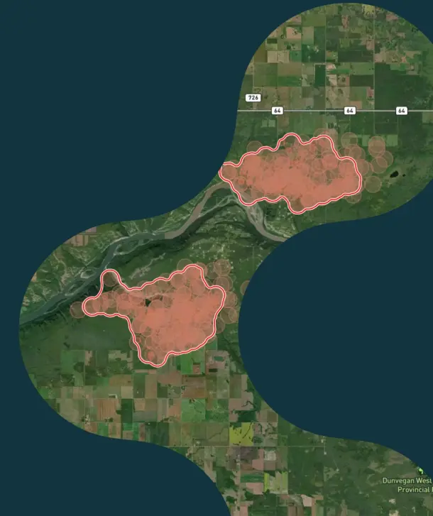
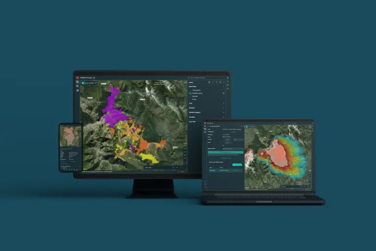
Satellite-based wildfire intelligence for early detection, continuous monitoring, and operational response, supporting decision-makers at every stage of wildfire…
Payloads & Instruments

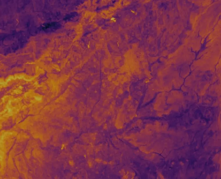
Thermal data

OroraTech GmbH
Price on request
  • Swath375 km
  • Pixel size200m
  • Absolute radiometric Level-1 data accuracy2% in the LWIR2 band

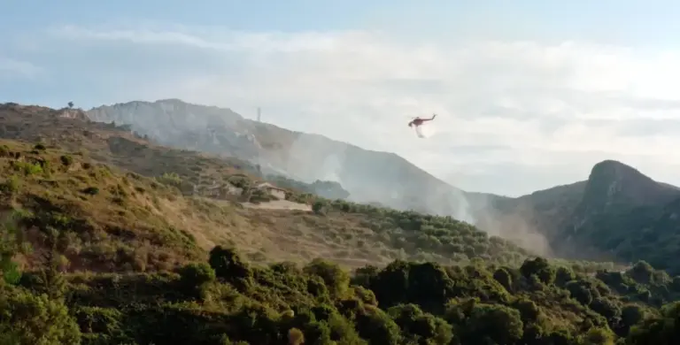
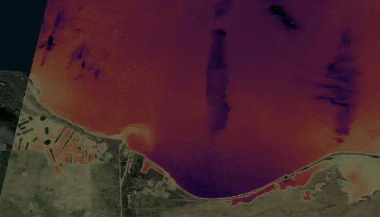
OroraTech’s satellite thermal monitoring provides continuous insight into heat patterns across land and oceans, delivering global coverage, high-resolution…

Software & Services

Land Surface Temperature

OroraTech GmbH
Price on request
  • Revisit capabilitiesTwice-daily
  • Spatial resolutionUp to 80 meters
  • Temperature accuracyUp to 3K

Leverage high-resolution thermal data to monitor land surface temperature globally, detect heat anomalies, and enhance environmental decision-making with…

Software & Services

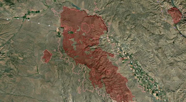
Burnt Area

OroraTech GmbH
Price on request

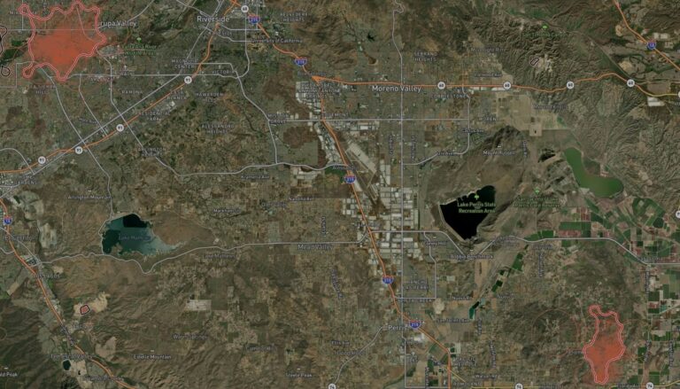
Leverage high-resolution satellite data to assess wildfire damage globally, quickly determine burn severity, allocate resources efficiently, and accelerate…

Software & Services

Wildfire Solution

OroraTech GmbH
Price on request

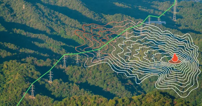
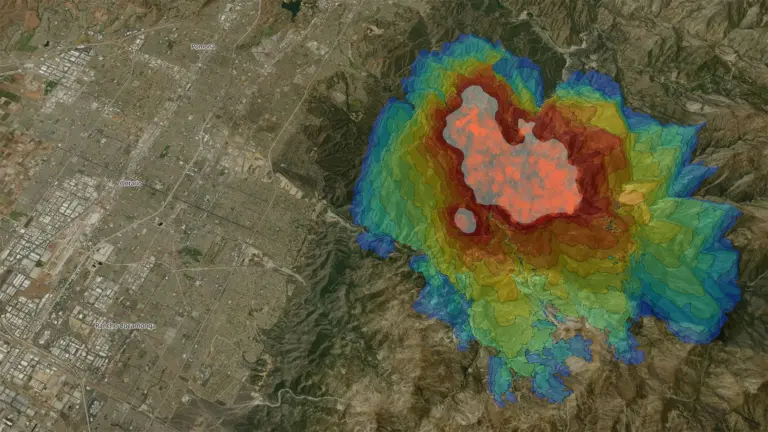
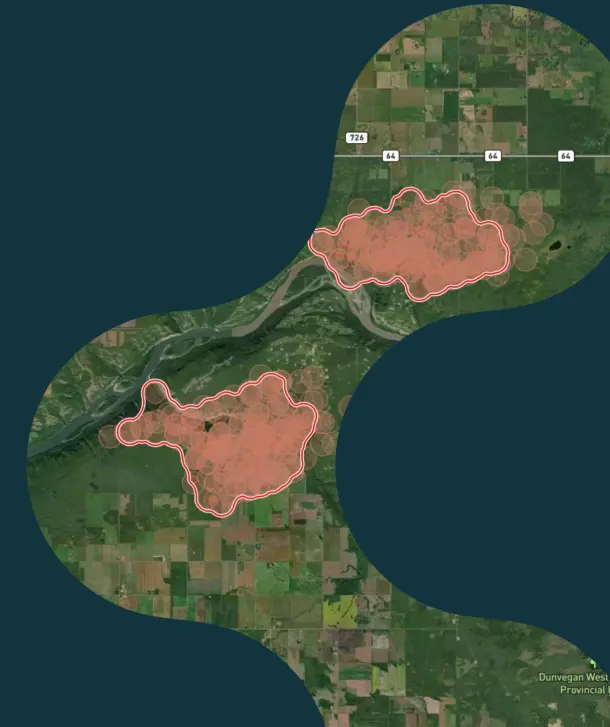
An all-in-one wildfire management platform for critical infrastructure, offering near-real-time detection, spread prediction, and damage assessment.

Payloads & Instruments

OroraTech Wildfire Intelligence Platform

OroraTech GmbH
Price on request
  • Revisit frequency~15 minutes (global)
  • Thermal resolution30 m
  • Detection capabilityActive fire fronts, fire spread, burnt area

Near-real-time wildfire detection and monitoring service from thermal satellite constellation — 15-minute revisit globally, AI-powered early detection, 30…

Software & Services

OroraTech Wildfire Solution

OroraTech GmbH
Price on request
  • Satellite constellation14 OroraTech satellites in Low Earth Orbit (LEO)
  • Combined thermal satellite network35+ satellite sources (OroraTech + public satellites)
  • CoverageContinuous global coverage, 24/7 high-resolution data

OroraTech's Wildfire Solution is a global wildfire management platform that combines thermal-infrared satellite imagery with AI-driven analytics to…

Software & Services

Wildfire Solution Platform

OroraTech GmbH
Price on request
  • Detection capabilityHotspots as small as a single tree
  • Spectral typeLong-Wave Infrared (LWIR) thermal
  • Revisit time~30 minutes average (global)

End-to-end satellite-based wildfire early detection and monitoring system — thermal IR constellation, 30-minute revisit, onboard processing, near-real-time alerts,…

Looking for a whole sector in one document? Sector catalogues — free PDF →