IADAS Forest Species AI Mapping
 Spacebel
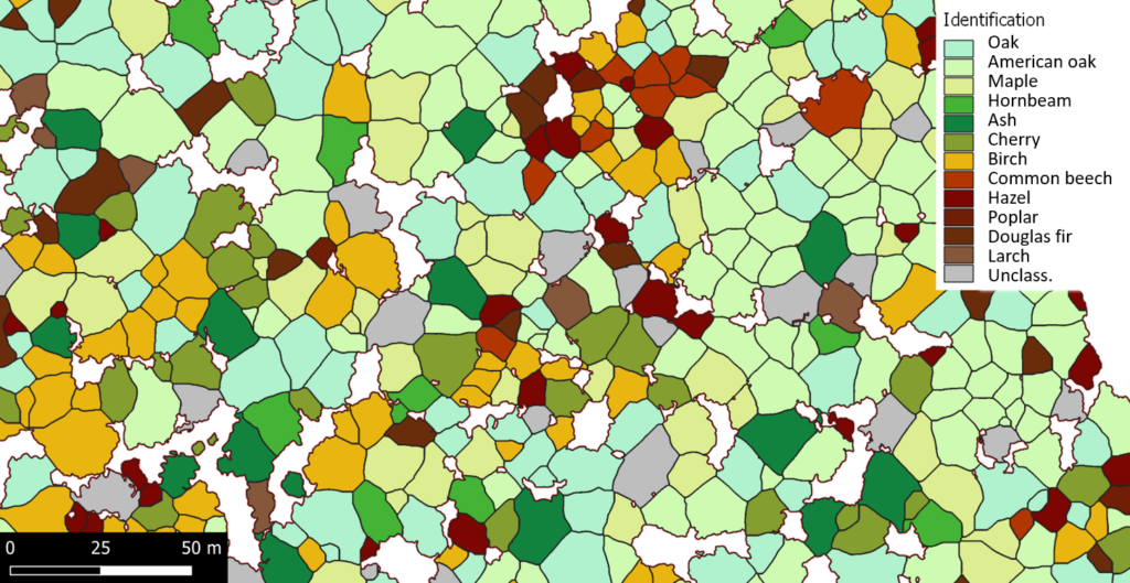
AI-based analysis of drone and satellite imagery for individual tree detection and species identification in forestry.
About
IADAS (Intelligence Artificielle pour Drones Autonomes et Satellites) is an AI-driven Earth observation service developed by Spacebel’s EORegions! team for forest monitoring. The solution applies artificial intelligence to drone and satellite imagery to identify individual trees and their species with high accuracy, supporting forest inventory and management decisions.
The service includes super-resolution enhancement of Sentinel-2 satellite imagery, improving the effective spatial resolution available for species mapping beyond the native sensor resolution. IADAS is part of Spacebel’s broader forestry Earth observation offering, which combines spaceborne, airborne and in-situ data to support sustainable forest resource monitoring for governments, land managers and industry.
Documentation
No public datasheet yet — request the datasheet / ICD from the supplier.