Broad Area Management
 Planet Labs PBC
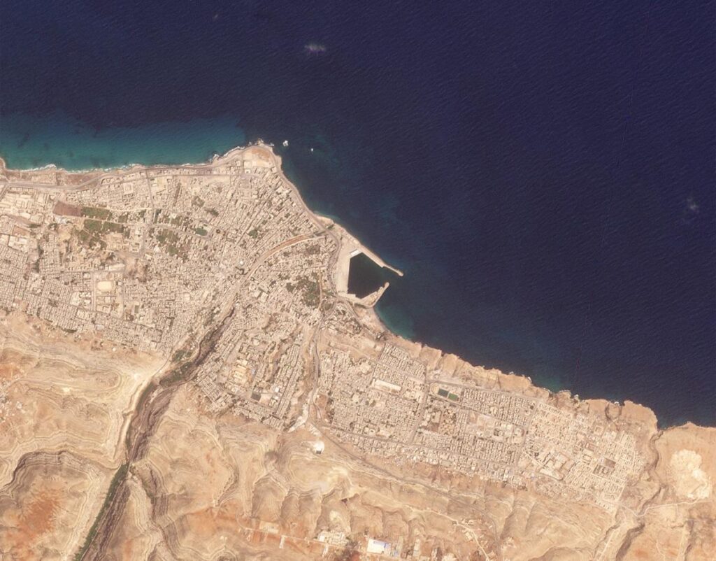
Planet's Broad Area Management combines daily satellite monitoring with high-resolution imagery, data, and analytics to help identify known and unknown changes across large geographic areas.
About
Planet’s Broad Area Management solution is designed to help detect, monitor, and minimize risk across extensive geographic regions. It leverages daily satellite monitoring and high-resolution imagery, along with advanced data and analytics, to identify changes at any scale. This approach improves visibility by closing gaps in data frequency and quality, allowing for the monitoring of regions often left unobserved with Planet’s daily data. Automated change detection and alerts enable proactive management, while high-resolution imagery helps detect objects and identify blind spots. The solution accelerates decision-making by reducing delays in capturing, managing, and sharing data, providing access to Earth data, analytics, and APIs in a single cloud-based environment. It streamlines workflows and eliminates the need for disparate systems, allowing users to manage and analyze satellite imagery from Planet and public missions in one place. Furthermore, it optimizes budgets by scaling monitoring efforts and reducing the need for expensive, resource-intensive data collection methods like field or aerial surveys, with pre-processed data accelerating time to value without additional costs.
Documentation
No public datasheet yet — request the datasheet / ICD from the supplier.