Planet Monitoring
 Planet Labs PBC
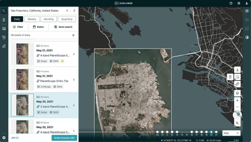
Planet Monitoring provides high-frequency, global coverage satellite imagery and monitoring, enabling users to observe areas of geographic interest, discover patterns, track infrastructure, and identify changes as they happen.
Technical specifications
- Resolution
- 3.7 meter
- Spectral Bands
- RGB and Near Infrared
- Coverage
- Global landmass, over 300 million sq km daily
- Revisit Rate
- Near-daily
- Archive
- Dating from 2009
About
With hundreds of Dove satellites in orbit, PlanetScope® Monitoring provides a high-resolution, continuous, and complete view of the world from above, every day. This service equips you with ground-truth data to make timely, informed decisions, offering 3.7-meter resolution images in four multispectral bands: RGB and Near Infrared. An extensive archive of high-resolution images dates back to 2009, covering over 300 million square kilometers of imagery collected daily. Planet Monitoring delivers up-to-date insights and satellite images from your areas of interest on a daily basis, with easy access and integration through Planet’s APIs, web application, and GIS integrations. Available through a subscription model, it can be scaled to meet the requirements of your analysis and application needs, providing a persistent view of land, assets, and operations from anywhere on Earth.
Documentation
No public datasheet yet — request the datasheet / ICD from the supplier.