
Planet Labs PBC

Updated 10 Jul 2026
Manufacturer United States Listed
17 Products
5 Services
16 Years Active
This profile was created from public sources. Is this your company? — update products, receive requests directly.

About Planet Labs PBC

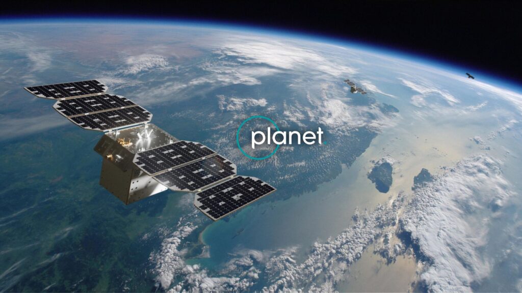
Planet Labs PBC was founded in 2010 by former NASA scientists Will Marshall, Robbie Schingler, and Chris Boshuizen with the mission to image the entire surface of Earth every day and make the data available for positive impact. The company launched its first satellites in 2013 and has since grown into one of the world's largest commercial Earth observation operators, with a constellation of more than 200 active satellites across multiple platforms including Dove, SkySat, and Pelican.

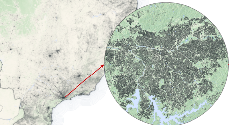
The Dove constellation — composed of 3U CubeSats — provides daily global coverage at approximately 3.7 meter ground resolution, enabling monitoring of land use change, agricultural productivity, deforestation, and disaster impacts at planetary scale. SkySat provides higher resolution imagery at 50 cm GSD with tasking capability for defense, infrastructure, and intelligence applications. The Pelican generation, beginning deployment in 2023–2024, dramatically improves collection capacity and revisit rates with advanced optics and onboard processing.

Planet's Planet Platform analytics layer allows customers to query Earth observations through APIs and dashboards rather than handling raw imagery directly — enabling applications in precision agriculture, financial analytics (tracking commodity flows, port activity, and industrial sites), environmental monitoring, and national security. The company went public on NYSE via SPAC merger in December 2021 and serves customers across commercial, government, and nonprofit sectors in more than 40 countries.

Products

17

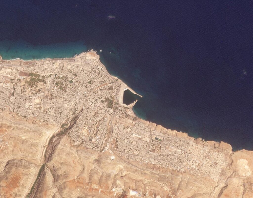
Planet's Broad Area Management combines daily satellite monitoring with high-resolution imagery, data, and analytics to help identify known and unknown changes across large geographic areas.
1

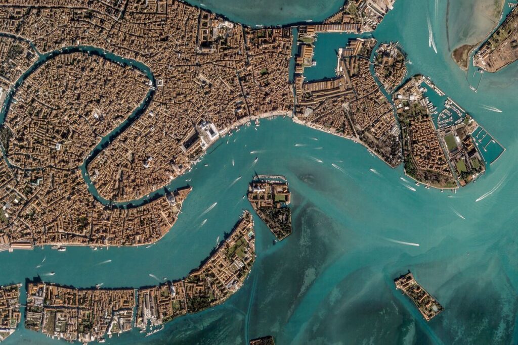
Unlock unparalleled insights with Planet’s commercial satellite imagery, utilizing real-time data to drive innovation and make informed decisions.

1

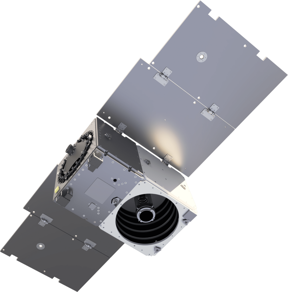
3U CubeSat Earth observation platform — daily global coverage at 3.7 m GSD, massive constellation of 150+ satellites, RGBN multispectral imaging for monitoring at planetary scale.

1 8

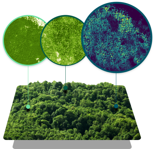
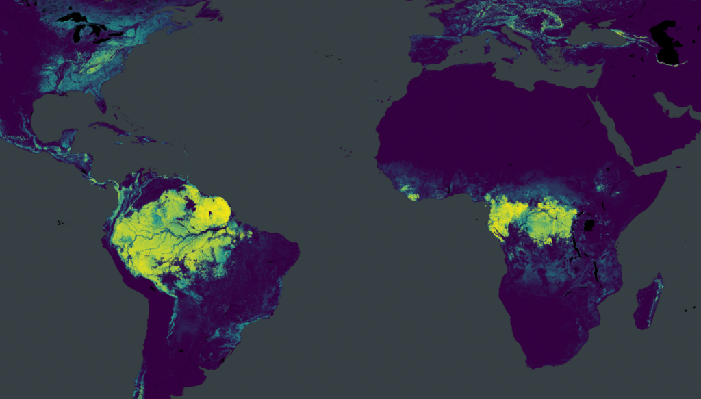
Forest Carbon is a global dataset of aboveground forest carbon, tree height, and canopy cover estimates to easily analyze every hectare of forest and woodland, anywhere on Earth.

1 5

Pelican is a constellation of satellites designed for rapid, responsive, and resilient Earth observation.

1

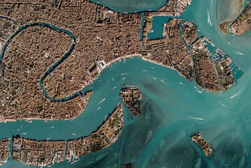
Next-generation high-resolution Earth observation satellite — sub-meter imagery, higher capacity than SkySat, rapid tasking, designed for defense and commercial high-frequency monitoring missions.

1 5

Harness the power of high cadence, global imagery with Planet's automated, cloud-based Analytic Feeds, transforming daily imagery into actionable insights.

1

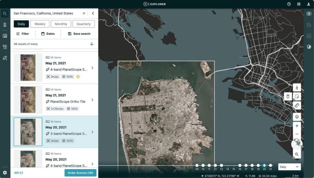
Planet Insights Platform is your centralized, cloud-native, broad-area-management destination for daily Earth data and analytics, offering global, always-on monitoring.

1

Planet Monitoring provides high-frequency, global coverage satellite imagery and monitoring, enabling users to observe areas of geographic interest, discover patterns, track infrastructure, and identify changes as they happen.

1 5

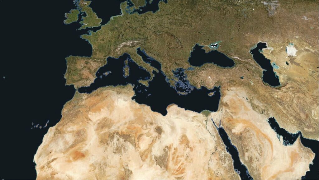
Power your applications and analytics with seamless mosaics built from the most recent satellite imagery from around the world.

1

Planet Professional Services help you rapidly deliver results, accelerate your time to value, maximize your ROI, innovate quicker, and unlock the full potential of the Planet Platform.

1

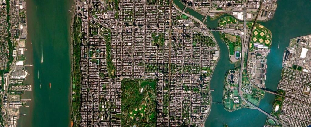
Planet SuperRes sharpens 3m pixels into high-definition 2m imagery, making small-scale objects and textures visible for the first time in a near-daily monitoring stream, designed specifically for human perception.

1

Planet Tasking provides organizations with near-real-time intelligence through high-resolution satellite imagery at 50 cm resolution, enabling proactive identification of blind spots and informed decision-making.

1 7

Planetary Variables™ deliver continuous, scientifically rigorous data that measures the changing conditions of the surface of the Earth, drawing on observations from Planet's satellites and the broader Earth observation ecosystem.

1

RapidEye was a constellation of five satellites that operated from 2009 to 2020, providing imagery with approximately 5 meters per pixel resolution.

1

Planet provides geospatial insights at the speed of change, equipping organizations with the data necessary to make informed, timely decisions.

1 12

High-resolution optical microsatellite — 50 cm GSD panchromatic / 1 m multispectral, tasking capability, 90-second video mode, for defense, intelligence, and commercial high-resolution applications.

1 8

Additional Services

5
EO imagery & data
Details →

As part of its Planet Tasking service, the company provides the capability for stereo collection, which is specifically used for the construction of 3D models and Digital Elevation Models (DEMs). This service is crucial for customers who require volumetric analysis,…

Full details →
Details →

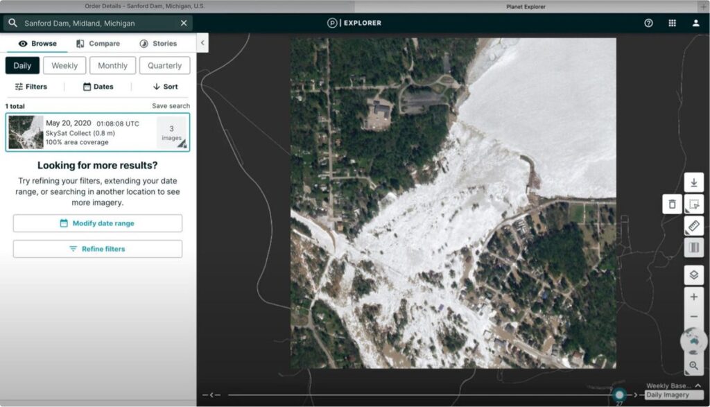
Planet provides Application Programming Interfaces (APIs) that allow customers to seamlessly access its vast collection of data and imagery within their existing workflows. This integration capability ensures that organizations can incorporate Planet's high-resolution Earth data and insights directly into their…

Full details →
Details →

The Planet Select portal provides an easy-to-access, pay-as-you-go solution for obtaining satellite imagery. This 100% digital experience allows users to quickly order individual tasks for ad-hoc projects, offering flexibility for those who need a quick, one-time image without committing to…

Full details →
Details →

Planet Tasking offers organizations the ability to request high-frequency satellite imagery and data, including stereo collection for 3D models and DEM construction, off-nadir imagery, and videos, for any location worldwide. This service leverages a fleet of high-resolution tasking satellites to…

Full details →
Details →

The Tasking Dashboard is designed for organizations requiring scalability and flexibility for ongoing projects, utilizing a system of tasking credits. This user-friendly interface is accessible anywhere, enabling users to submit, modify, and cancel satellite imagery requests online. The process is…

Full details →

Reviews

No reviews yet — reviews come from buyer accounts that have worked with this company.

Write a review

0 / 2000
← All providers