Forest Carbon
 Planet Labs PBC
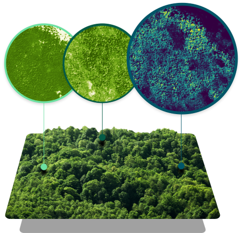
Forest Carbon is a global dataset of aboveground forest carbon, tree height, and canopy cover estimates to easily analyze every hectare of forest and woodland, anywhere on Earth.
Technical specifications
- Update Frequency
- Quarterly
- Archive
- Back to 2021
- Granularity
- 3m and 30m datasets
- Forest Carbon Diligence Product Archive Access
- From 2013 at 30m resolution
- Forest Carbon Monitoring Product Updates
- Quarterly at 3m resolution
About
Forests play a critical role in absorbing vast quantities of carbon dioxide, but high-fidelity estimates of the carbon they store are costly and impractical at scale. Planet’s Forest Carbon data is designed to solve these challenges. It is a global dataset of aboveground forest carbon, tree height, and canopy cover estimates, allowing for easy analysis of every hectare of forest and woodland, anywhere on Earth. Cutting-edge machine learning models fuse a rich archive of historical satellite observations with high-quality, laser-derived reference data to enable carbon project accounting, digital MRV, reforestation, and deforestation monitoring. The data is frequently updated quarterly with an archive back to 2021, highly accurate, granular (3m and 30m datasets), and scalable, supporting analysis at all scales and reducing the need for field measurements or airborne surveys. It allows users to monitor the complete spectrum of forest change, from million-acre wildfires to small agricultural clearcuts to single large tree selective harvests. The product is calibrated and evaluated with high-quality airborne and spaceborne laser measurements, utilizing deep learning models trained and validated on a massive global library of airborne LiDAR and NASA’s GEDI spaceborne LiDAR.
Documentation
No public datasheet yet — request the datasheet / ICD from the supplier.