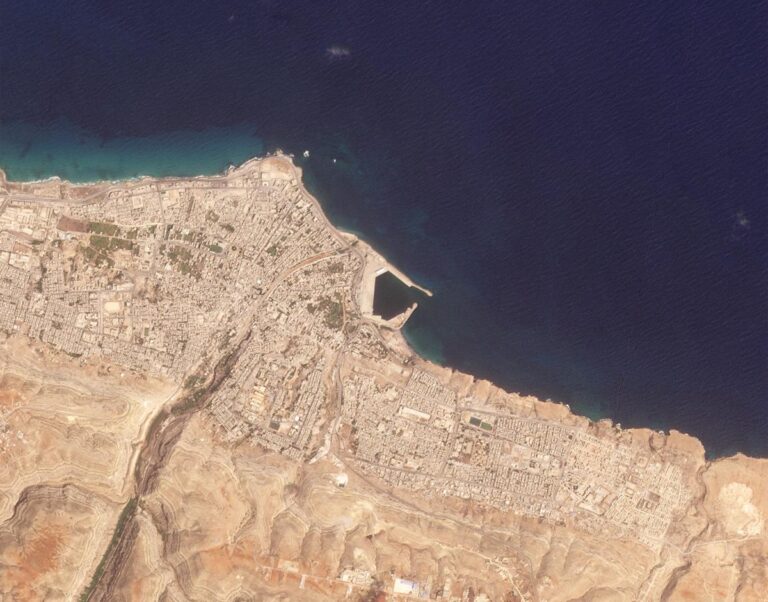
Broad Area Management
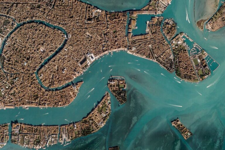
Planet Labs PBCPlanet's Broad Area Management combines daily satellite monitoring with high-resolution imagery, data, and analytics to help identify known…

17 satellite platforms, components and ground equipment from manufacturers worldwide.
Planet's Broad Area Management combines daily satellite monitoring with high-resolution imagery, data, and analytics to help identify known…

Unlock unparalleled insights with Planet’s commercial satellite imagery, utilizing real-time data to drive innovation and make informed decisions.
RapidEye was a constellation of five satellites that operated from 2009 to 2020, providing imagery with approximately 5…
Planet SuperRes sharpens 3m pixels into high-definition 2m imagery, making small-scale objects and textures visible for the first…
Planet Monitoring provides high-frequency, global coverage satellite imagery and monitoring, enabling users to observe areas of geographic interest,…
Planet provides geospatial insights at the speed of change, equipping organizations with the data necessary to make informed,…
Harness the power of high cadence, global imagery with Planet's automated, cloud-based Analytic Feeds, transforming daily imagery into…
Planet Professional Services help you rapidly deliver results, accelerate your time to value, maximize your ROI, innovate quicker,…
Planetary Variables™ deliver continuous, scientifically rigorous data that measures the changing conditions of the surface of the Earth,…
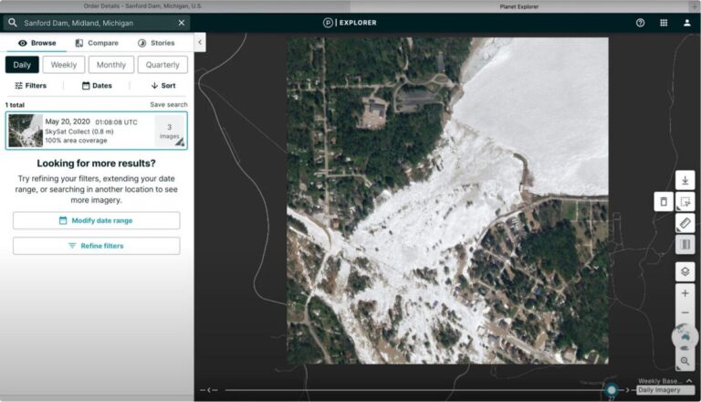
Planet Insights Platform is your centralized, cloud-native, broad-area-management destination for daily Earth data and analytics, offering global, always-on…
Pelican is a constellation of satellites designed for rapid, responsive, and resilient Earth observation.
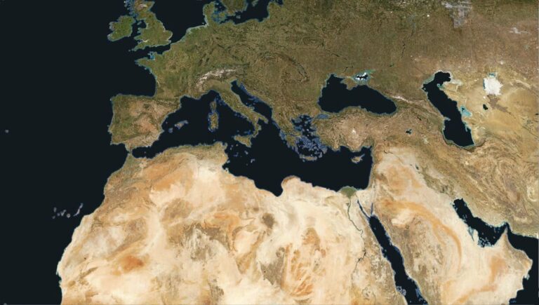
Power your applications and analytics with seamless mosaics built from the most recent satellite imagery from around the…
Planet Tasking provides organizations with near-real-time intelligence through high-resolution satellite imagery at 50 cm resolution, enabling proactive identification…
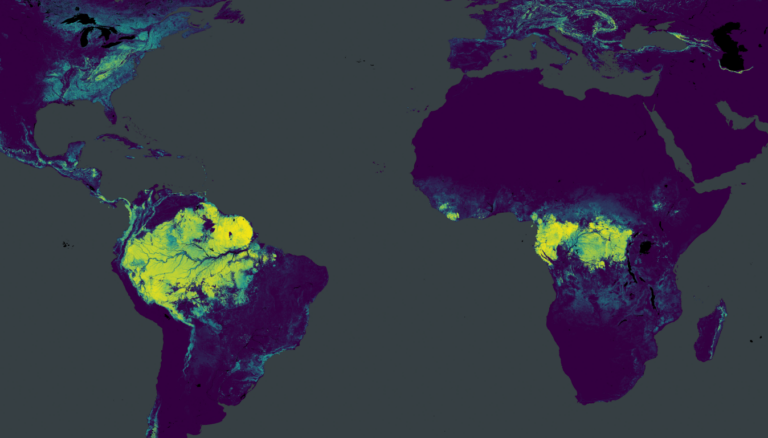
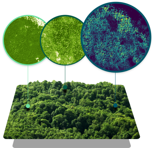
Forest Carbon is a global dataset of aboveground forest carbon, tree height, and canopy cover estimates to easily…
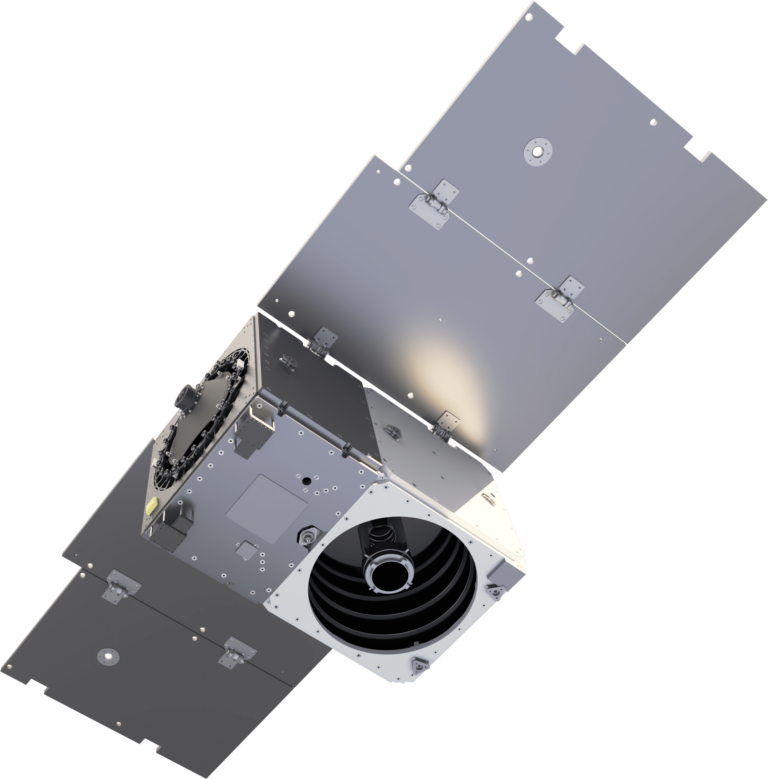
Next-generation high-resolution Earth observation satellite — sub-meter imagery, higher capacity than SkySat, rapid tasking, designed for defense and…
High-resolution optical microsatellite — 50 cm GSD panchromatic / 1 m multispectral, tasking capability, 90-second video mode, for…
3U CubeSat Earth observation platform — daily global coverage at 3.7 m GSD, massive constellation of 150+ satellites,…
Looking for a whole sector in one document? Sector catalogues — free PDF →
These are saved in this browser only. Sign in and they move to your account, where they stay across devices.
We use cookies. Strictly necessary cookies keep the platform working. With your consent we also use Google Analytics to understand how the platform is used and improve it. We do not use advertising cookies. Cookie Policy · Privacy
How is your experience with the platform? Your message goes straight to our team.
Thank you! Your feedback has been sent to our team.