Polaris
 gmv
gmv
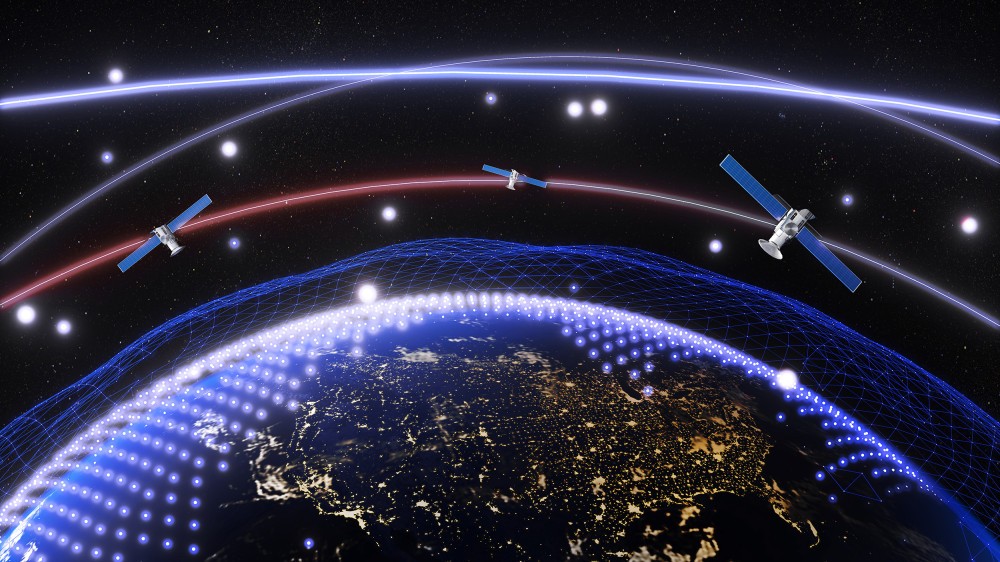
Polaris is a GNSS Service Volume Performance Simulator that provides the means to demonstrate the benefits to be gained with a wide variety of combinations of GNSS systems and sensors in different user environments.
About
Polaris is a GNSS Service Volume Performance Simulator designed and optimized to run on any standard desktop or laptop computer under Windows® operating systems. It offers a powerful and user-friendly environment to display and export simulation results in various manners and formats, including colored maps, bar charts, XY-Plots, and 3D environments using VRML. Polaris supports a large variety of GNSS systems and sensors, providing default configurations for GPS, GLONASS, Galileo, Compass, IRNSS, and SBAS systems like EGNOS, WAAS, MSAS, SDCM, and GAGAN. It also supports Ground Based Augmentation Systems (GBAS) and other local augmentations such as pseudolites and radio mobile positioning. The simulation models implemented in Polaris have been thoroughly validated, with SBAS models calibrated using real EGNOS and GMV’s magicSBAS data. Polaris can be used for feasibility studies, user requirements evaluation, and system and application design validation, allowing users to assess navigation performance, refine system and error budgets, and optimize ground infrastructure.
Documentation
No public datasheet yet — request the datasheet / ICD from the supplier.