Space Hardware Marketplace

5751 satellite platforms, components and ground equipment from manufacturers worldwide.

5751 products
Cameras & Imagers

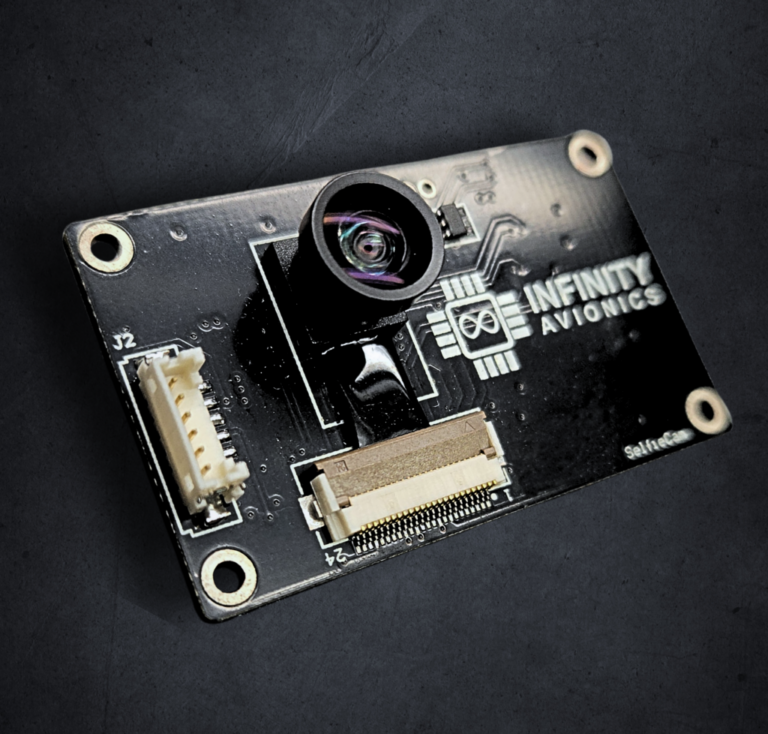
SelfieCam Video

Infinity Avionics
Price on request
Mass 0.01 kg · Power 0.75 W · Supply voltage 5 V · Operating temperature -20…60 °C

SelfieCam is a small form factor, TRL 9 spacecraft deployment monitoring camera designed for on-orbit imaging, space situational…

Software & Services

Vivid Basemaps

Vantor
Price on request
  • Mosaic coverage (15 cm)6 million sq km across the world's most populated areas
  • Mosaic coverage (30 cm)Virtually all of Earth's landmass except Antarctica
  • Mosaic accuracy<5 m CE90, 4 spectral bands (BGRN)

AI-updated 2D and 3D global basemap suite offering seamless mosaics, 3D terrain, and vector features.

CubeSat Platforms

Artemis CubeSat Education Platform

Artemis CubeSat Kit
Price on request
  • Format1U CubeSat (10×10×10 cm)
  • OBCArduino/ARM-compatible microcontroller (open source firmware)
  • RadioUHF transceiver (amateur satellite frequency)

Artemis CubeSat Kit — an open-source hardware and curriculum platform for building and flying 1U CubeSats, developed for…

Ground Segment

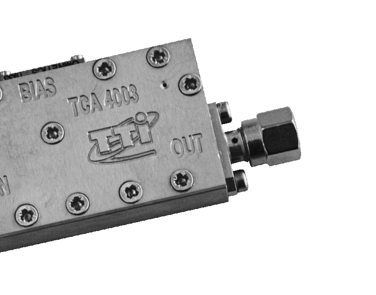
GaN Ku SSPA/BUC 325W Outdoor

TTI Norte
Price on request
Mass 68.5 kg · Power 1,400 W · Supply voltage 90…264 V · Operating temperature -30…55 °C

An outdoor Gallium Nitride (GaN) Ku-band Solid State Power Amplifier/Block Upconverter (SSPA/BUC) with 325W output power, suitable for…

Cameras & Imagers

HyperSat Hyperspectral Imaging Constellation

HyperSat
Price on request
  • Number of satellites6 (planned full constellation)
  • OrbitLow Earth Orbit (LEO)
  • Spectral bands500 narrow contiguous bands

Six-satellite LEO constellation capturing Earth imagery across 500 narrow spectral bands — AI/ML-processed Metadata Hypercubes, 6m GSD, NOAA-licensed.…

Test Equipment & EGSE

Weight-measuring Platform Devices

Elves
Price on request
  • PurposeWeighing of transport fuelling containers in the static weighing mode; weighing of liquid fuel; weighing of the liquid fuel charge
  • Year of release2015
  • Design life3 years

Weight-measuring platform devices designed for static weighing of transport fuelling containers and for weighing liquid fuel and fuel…

Software & Services

Sovereign Satellite Programs

Exseed Space
Price on request
  • Bus platform size10 to 200 kg modular
  • Payload typesOptical, SAR, Hyperspectral, RF
  • Program duration (First-launch)18 to 36 months (contract to operational handover)

Satellize provides end-to-end sovereign satellite programs for governments, ministries, and national agencies, encompassing satellite design, build, operation, ground…

Software & Services

MagicGEMINI®

gmv
Price on request

MagicGEMINI® is a comprehensive GNSS performance monitoring and analysis system designed for the aviation community, supporting multi-constellation and…

Ground Segment

Satellite Data Receiving Training Station

SPUTNIX
Price on request
  • PurposeRadiosignals receiving for analisys and use in project activity.
  • Year of release2014
  • Design life1 years

A training complex for receiving radiosignals from spacecraft, based on software-defined radio technology and including two fixed antennas.

Communications

TA1029

Triad RF Systems
Price on request
Frequency 6,400 MHz · Gain 58 dB · Supply voltage 9…36 V

6400-7100 MHz, 25 W GaN power amplifier (end of life / discontinued, information provided for reference only).

Payloads & Instruments

TALOS IoT Tag

TALOS GmbH
Price on request
  • CommunicationUHF uplink to LEO satellite constellation
  • PositioningGPS
  • SensorsMulti-axis accelerometer, customizable interfaces

Ultra-compact, energy-efficient IoT tracking tag for wildlife, agriculture, and logistics applications via satellite.

Cameras & Imagers

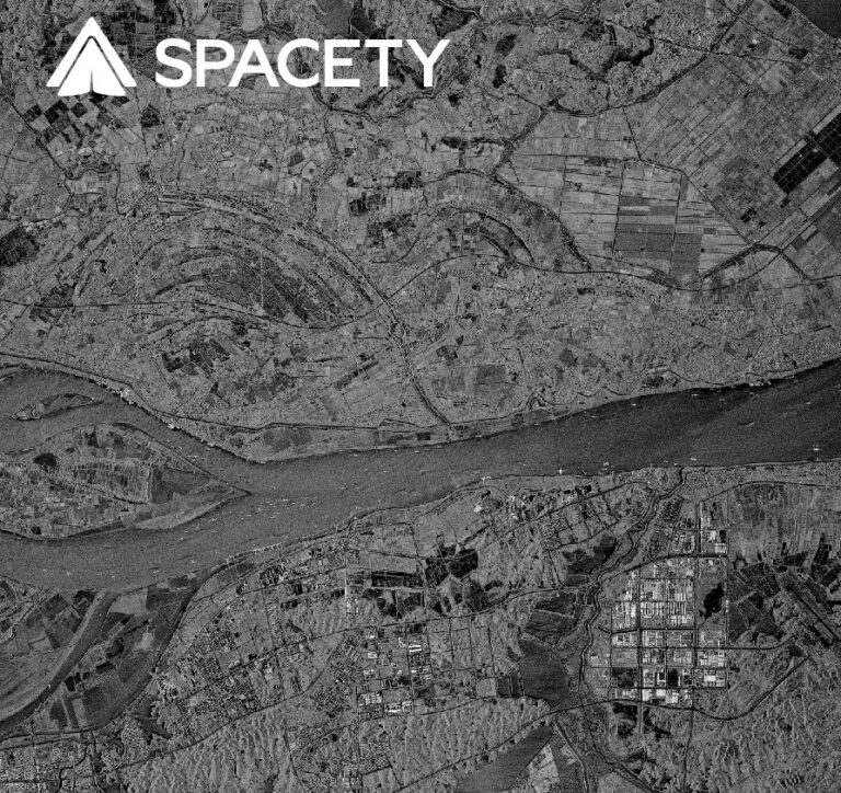
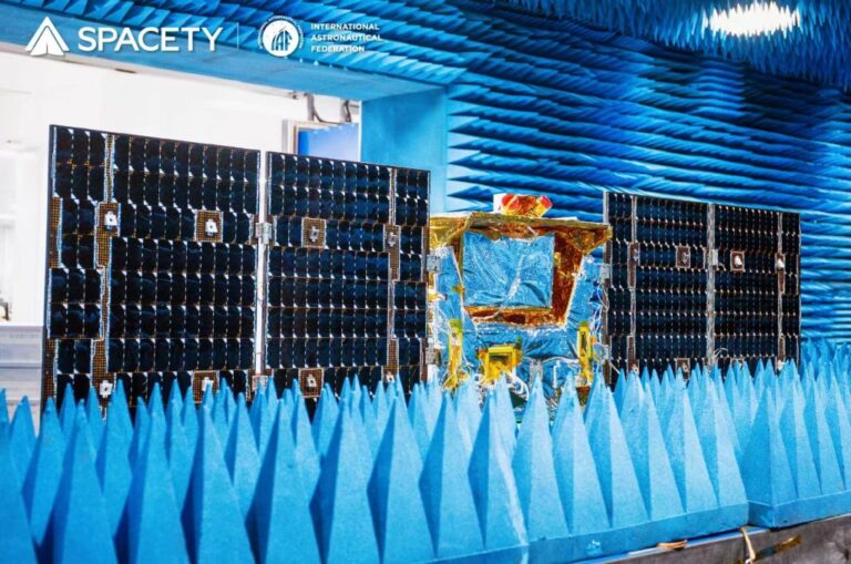
Chaohu-1 SAR Satellite

Spacety
Price on request
  • SAR bandC-band
  • Generation2nd-generation Spacety commercial SAR satellite (after Hisea-1)
  • Data delivery timeWithin 6 hours of acquisition (emergency imaging)

Second-generation commercial C-band SAR satellite, launched February 2022, with improved resolution, swath, downlink, and onboard AI data processing.

Payloads & Instruments

TY29 (DIZHI-1) Hyperspectral Remote Sensing Satellite

Spacety
Price on request
  • Spectral range410 nm - 2,480 nm (hyperspectral)
  • Detection technologyTDI (Time-Delay Integration) multi-spectral visible-light detection; infrared focal-plane filter spectral splitting
  • Lead institutionChina University of Geosciences (Wuhan)

Hyperspectral geological remote sensing satellite (410-2480 nm) developed with China University of Geosciences for mineral, soil and water-pollution…