Software & Services
Commercial Remote Sensing Data Services
China Siwei Surveying & MappingPrice on request
- Gaojing resolution0.5 m PAN, 2 m multispectral (4 satellites)
- Update frequencyDaily coverage of priority regions
- Spectral bandsPanchromatic + RGB+NIR (4 bands)
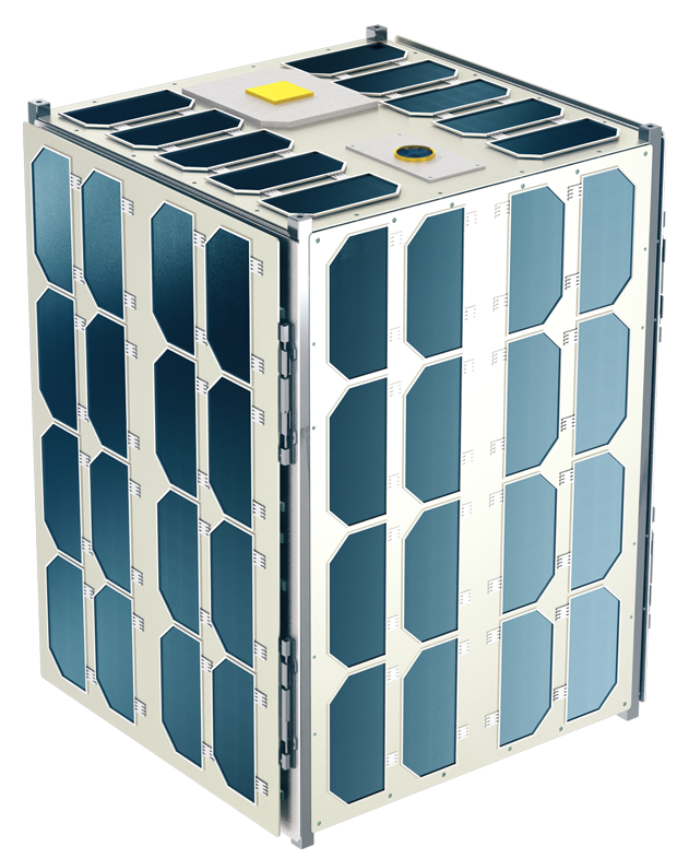
China Siwei's high-resolution commercial satellite imagery products from GaoJing (SuperView) satellites — sub-0.5-meter optical imagery for mapping, surveying,…