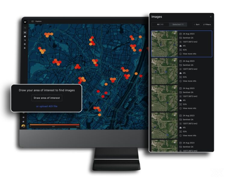
CMDVS Software (Control, Monitor, Data Processing & Visualisation)
SSBV Aerospace & TechnologyControl, monitoring, data processing and visualisation software for satellite ground segment EGSE.
500 Software & Services listings from suppliers worldwide.
Control, monitoring, data processing and visualisation software for satellite ground segment EGSE.
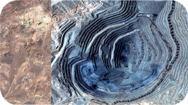
3D DEM and satellite-imagery based environmental and landslide risk monitoring service for mining sites.
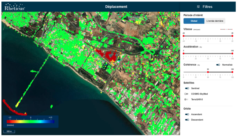
Radar interferometry service for millimetric monitoring of ground subsidence, uplift and deformation.
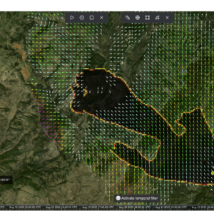
ESA-programme wildfire ignition and spread risk forecasting platform combining 20 years of fire history with satellite and environmental…
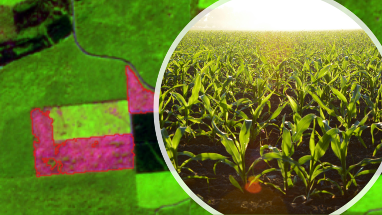
Multi-sensor satellite monitoring service for crop health, water status and vegetation/fire-risk indicators.
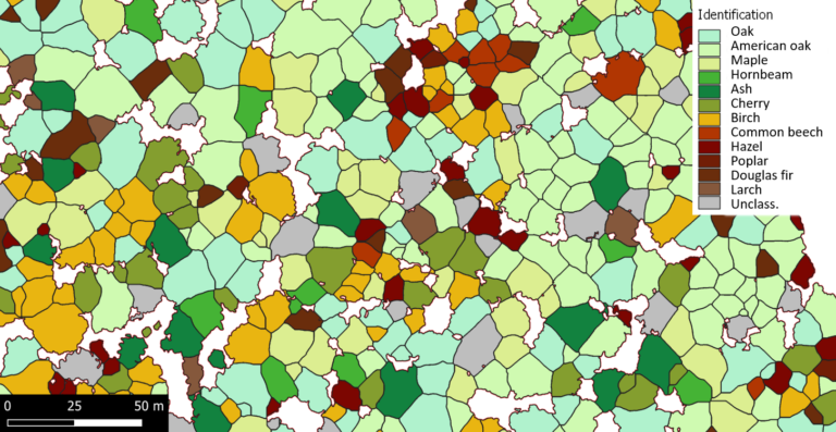
AI-based analysis of drone and satellite imagery for individual tree detection and species identification in forestry.
SPACEBEL offers comprehensive modelling and simulation products and services for space systems, including operational simulators, software validation facilities,…
SPACEBEL provides on-board software and data management solutions for various space missions, including satellite platforms, payloads, and sub-systems,…
On-demand new thermal image capture with Standard or Assured priority tasking, including exclusivity windows to withhold data from…
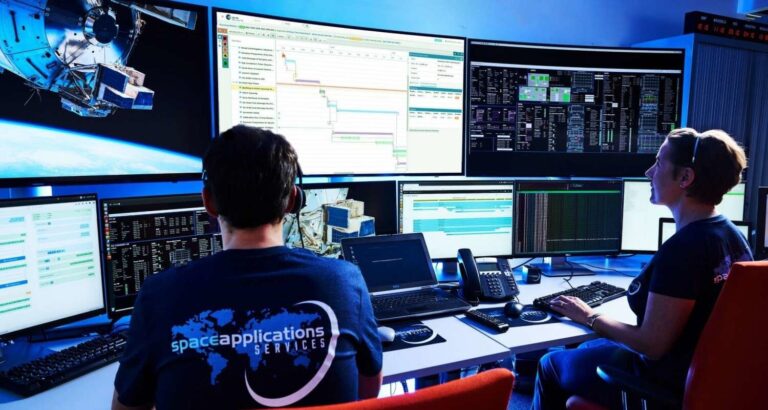
YAMCS (Yet Another Mission Control System) is an open-source mission control system framework developed by Space Applications Services.…
TRL-9 satellite edge-compute terminal combining 99.9% global connectivity, onboard AI, and secure cloud integration (AWS/Azure/NVIDIA), available in Mini…
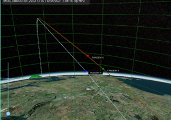
A suite of advanced software solutions providing space environment intelligence, including atmospheric drag modeling (Dragster), ionospheric modeling (M3SDA),…
OrbitIQ is a cloud-native orbital modeling platform that improves space domain awareness by reducing orbital uncertainty and false…
Assimilative atmospheric drag-modeling framework for high-fidelity LEO object tracking.
Cloud-native no-code platform for tasking, visualising, and analysing Pixxel hyperspectral imagery — with 20+ preset spectral indices, AI/ML…
Browser-based no-code/low-code platform for building, testing, and deploying AI models on Earth observation satellites via REST API.
Linux-based orbital OS and middleware for deploying and orchestrating AI and EO workflows onboard LEO satellites — supports…
Sovereign orbital data storage service — AES-256-GCM encrypted, zero-knowledge, physically unreachable from Earth, 200GB+ NVMe SSD per satellite.
These are saved in this browser only. Sign in and they move to your account, where they stay across devices.
We use cookies. Strictly necessary cookies keep the platform working. With your consent we also use Google Analytics to understand how the platform is used and improve it. We do not use advertising cookies. Cookie Policy · Privacy
How is your experience with the platform? Your message goes straight to our team.
Thank you! Your feedback has been sent to our team.