Space Hardware Marketplace

5751 satellite platforms, components and ground equipment from manufacturers worldwide.

5751 products
Structures & Mechanisms

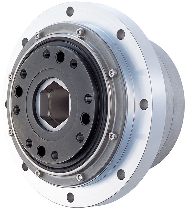
FHA-C

Harmonic Drive
Price on request
  • Peak torque39~820 Nm
  • Max speed22~96 rpm

Super-flat hollow shaft actuators with high torque, high positioning accuracy and high torsional stiffness, ideal for various space…

Launch & Rideshare Services

Andøya Space Launch and Test Services

Andoya Space
Price on request
  • LocationAndøya, Nordland, Norway (69°N)
  • Launch accessPolar to SSO orbits (direct northward sea corridor)
  • HistoryEstablished 1962, 1,000+ launches

Andøya Space's launch and testing services from Norway's Arctic coastal launch site — Europe's leading sounding rocket range…

Ground Segment

VICTS Special Mission Aero Antenna

ThinKom Solutions, Inc.
Price on request
  • TechnologyVICTS
  • Frequency bandsX-band, Ku-band, Ka-band (MILSATCOM)
  • ApplicationsISR aircraft, HALE UAV, government special mission

VICTS antenna for military ISR aircraft, government special mission platforms, and HALE UAVs requiring high-data-rate SATCOM connectivity with…

Launch Vehicles

New Shepard

Blue Origin
Price on request
  • Max altitude>100 km (above Kármán line)
  • Crew capacity6 passengers
  • Microgravity duration~3 minutes

Fully reusable suborbital launch system for crew and payloads, featuring a pressurized capsule and propulsively-landing booster.

Software & Services

EI² — Earth Information & Intelligence

NorthStar Earth & Space
Price on request
  • Service typeEarth observation and resource intelligence platform
  • FocusSustainable management of natural resources
  • AccessOperators, communities, and stakeholders

Data-driven Earth observation platform delivering hyperspectral and infrared intelligence for forestry, agriculture and emissions monitoring.

Software & Services

HeatView — Urban Heat Stress Risk Mapping

Map Impact
Price on request
  • Satellite dataLandsat-8/9 (NASA/USGS), MODIS (NASA), Sentinel-2 (ESA)
  • Score scale1–5 (Very Low → Very High heat stress susceptibility)
  • Spatial resolution~50 m (H3 hex grid, Resolution 11, ~0.2 ha/cell)

Map Impact's HeatView maps heat stress susceptibility across the UK at 50 m resolution (scored 1–5) using Landsat-8/9,…

Software & Services

OroraTech Wildfire Solution

OroraTech GmbH
Price on request
  • Satellite constellation14 OroraTech satellites in Low Earth Orbit (LEO)
  • Combined thermal satellite network35+ satellite sources (OroraTech + public satellites)
  • CoverageContinuous global coverage, 24/7 high-resolution data

OroraTech's Wildfire Solution is a global wildfire management platform that combines thermal-infrared satellite imagery with AI-driven analytics to…